
 (1)")
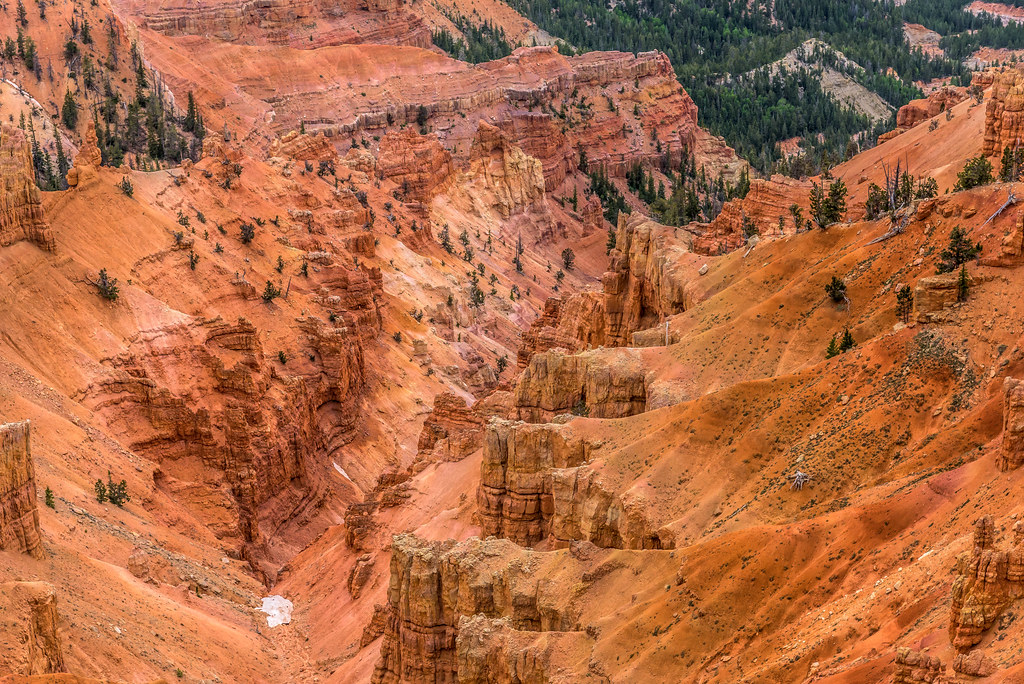
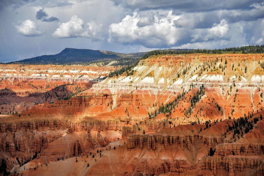
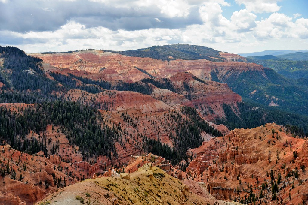
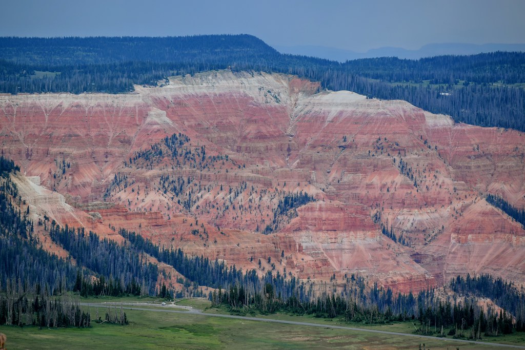
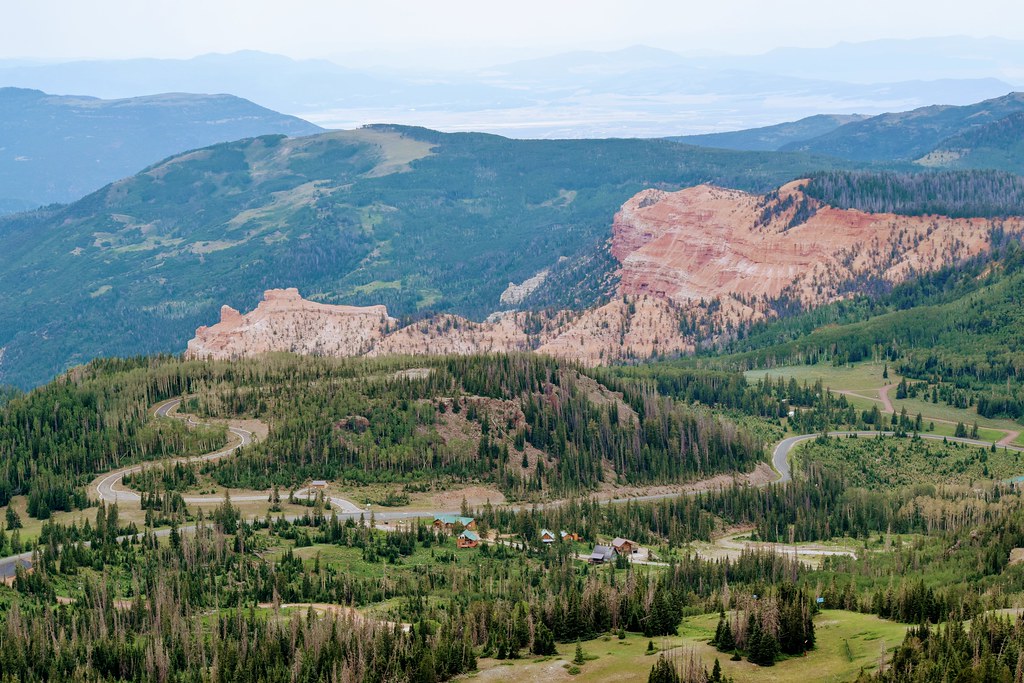
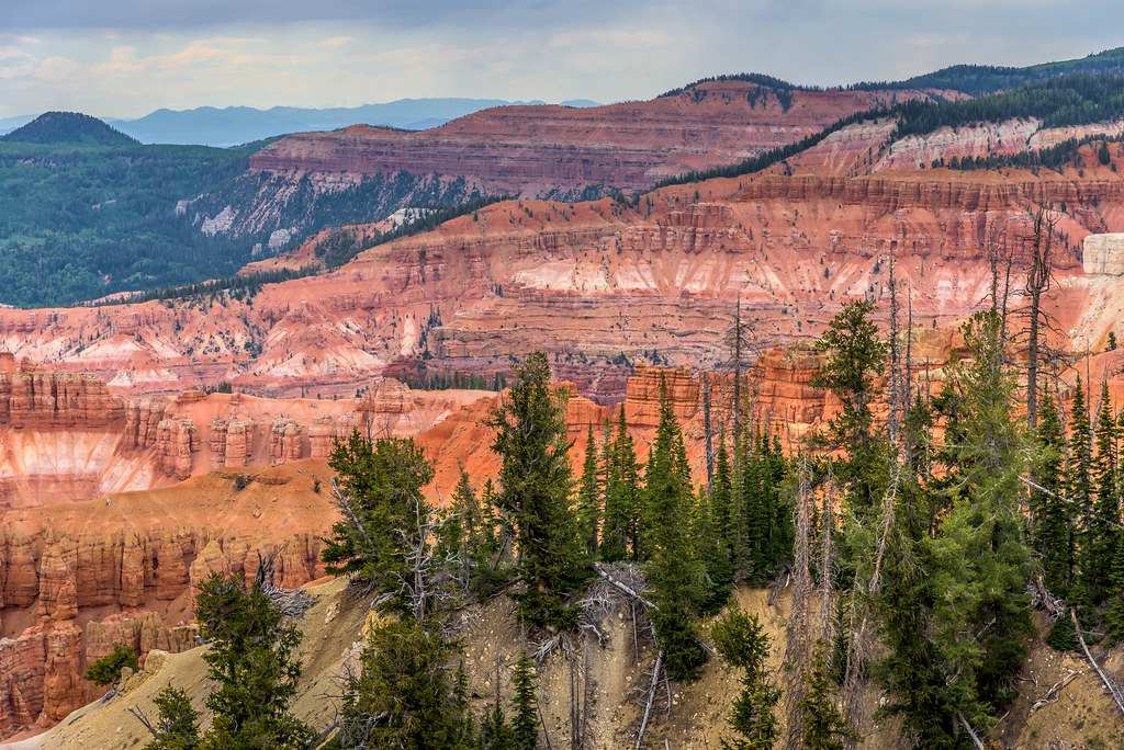
Situated about two miles south of the town of Brian Head, Cedar Breaks is often described as a higher and more eroded-down version of Bryce Canyon with its crimson and coral pink pinnacles, hoodoos, and buttresses.
The park sits high on the western edge of the Markagunt Plateau with the highest point at 10,662 ft nearly a half-mile above the lowest point below the rim. Early Paiutes called Cedar Breaks the “Circle of Painted Cliffs” referring to the multicolored cliffs that stretch three miles across. Settlers called them badlands or breaks and gave the painted cliffs its current name by combining breaks with cedar for the many juniper trees in the area they mistakenly called cedars. A six-mile scenic drive along highway 148 leads to four overlooks, each offering a different perspective of the amphitheater. (closed in winter)
Cedar Breaks is home to ancient bristlecone pines, some dating back more than 1,600 years. A high concentration of these trees can be seen at the Twisted forest in the northern section. (see map below) Mid-summer is a great time to see wildflowers in the lush subalpine meadows among the Quaking Aspens, Engelmann spruce, fir trees, and limber pine. The aspen trees become a kaleidoscope of color in the Fall. I recommend adding highways 148 and 143 to your list of Fall drives!
Hiking Trails
There are a number of great hiking trails from easy at the top to more strenuous at the bottom. Sunset Trail is an easy two mile round trip ADA-ABA accessible paved trail that runs between the Point Supreme Overlook and Sunset overlook. This trail also passes through the Point Supreme picnic area and campground. Campground Trail is an unpaved 1 mile (one-way) trail that connects the Cedar Breaks Visitors Center area to the Campground. Alpine Pond Nature Trail is a two-mile double-loop through forest and meadows. The lower trail offers excellent views of the “breaks.” The upper trail takes you past meadows of native wildflowers, through spruce-fir-aspen forest, and past ancient deposits of volcanic materials. Spectra Point & Ramparts Overlook is four-miles round-trip, and follows the rim. Spectacular views can be seen from all directions. If you just hike to the Spectra Point Overlook, the trip is only two-miles round-trip. Rattlesnake Creek Trail This 9.8 mile (point to point) trail is my personal favorite. The trailhead is located just outside the park’s north entrance and is part of the Ashdown Gorge Wilderness managed by the U.S Forest Service. For more information on this trail, CLICK HERE. (see map for trail locations)
Dark Sky Park
Cedar Breaks is the first park in southwestern Utah to be designated an International Dark Sky Park. USA Today voted the park as the “Best National Park Night Experience.” Throughout the summer month Stargazing parties are held with a ranger/naturalist. When planning your visit I highly recommend planning your trip to attend one of these parties.
Camping is available at Point Supreme Campground. Each site has a picnic table and fire pit or grill. There are restrooms with showers, chopped firewood, and water spigot. Reservations are required and the nightly rate is $24. Nearest lodging is available at nearby Brian Head Resort or at Cedar City 30 scenic miles away.
There is a $7 per person park fee for individuals 16 plus that’s good for seven days. Under 16 is free. Pets are allowed but must be on a leash no longer than 6 feet and under physical restraint, or caged at all times.To learn more about Cedar Breaks visit www.nps.gov/cebr/

