When you hear Death Valley mentioned, images of a vast, extremely hot and desolate place far from civilization may come to mind. This would be a pretty accurate description of what Death Valley is much of the year. However, left out from this description is the mention of its beauty. A beauty unique to this parched region of the west that quickly comes to life with the passing thunderstorms.
Prior to visiting Death Valley I always felt it was out of the way and inconvenient. It really isn’t! It’s an easy trip from Las Vegas and can be done in a day. However, I suggest taking two or three if you really want to experience the park with its many attractions, trails and sights.
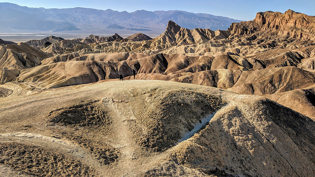
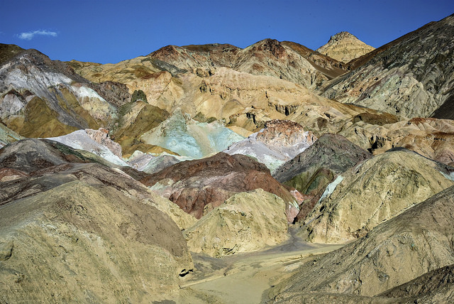
My first impression of Death Valley…beh! Desolate, barren, and bland compared to the red rock country I live in. I’ve been spoiled living in one of the most beautiful places on earth. But after spending some time in the park visiting the various sections, I became a HUGE fan. I quickly warmed up, so to speak, to its stark beauty and colorful landscape. Not colorful like Bryce, Yellowstone, or Canyonlands, but a unique beauty of its own.
Death Valley was designated a national monument in 1933 with nearly 2 million acres set aside by President Herbert Hoover, but didn’t receive national park status until 1994. On October 31, 1994, the monument was expanded by 1.3 million acres and re-designated as a national park making it the largest national park in the lower 48 states.
I haven’t yet visited all the popular spots but I’ve had a good taste of what can be done in a day or two depending on how much time you spend at each stop. I’ll be back to check out the rest!
February to April is prime wildflower season, and October to January is the best time to visit the park when it’s least crowded without the blistering heat.
Click on a tab for a description of a few of the places I’ve visited.
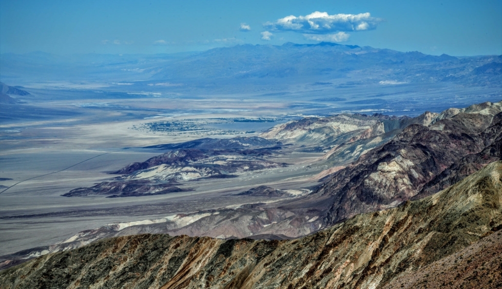
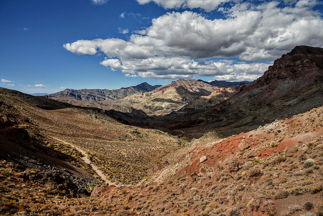
From Dante’s View one can see the central part of Death Valley from a vantage point 5,500 feet above sea level. From here Badwater Basin can be seen, which contains the lowest dry point in North America. Telescope Peak can also be seen from here which is 11,049 feet above sea level. This is the greatest topographic relief in the lower 48 states of the U.S.
The mountain that Dante’s View is on is part of the Black Mountains which along with the parallel Panamint Range across the valley from what geologists call a horst and in the valley that is called a graben. Horst and graben are always formed together. Graben are usually represented by low-lying areas such as rifts and river valleys whereas horsts represent the ridges between or on either side of these valleys.


Calculate the distance and route to Death Valley from where you live using the map below.